
About CVUAS
Field-proven aerial data, from people who know active sites
CVUAS is the industrial and geospatial division of Coachella Valley Drone, based in Indio, California, serving Southern California, Arizona and Nevada.
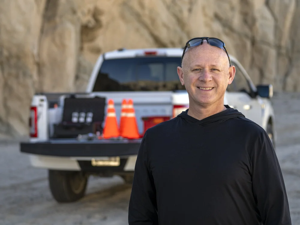
Industrial drone operator · GIS specialist
Who we are
We capture accurate aerial data for mines, construction projects, solar and energy sites, and facilities.
James, our chief pilot, has spent several years visiting large mine sites for drone mapping work, and has planned and run ground control on a variety of projects, including mine sites mapped by manned LiDAR aircraft. He combines that field experience with GIS processing, so the data you receive is accurate, checked and ready to use.
For real estate photography, Matterport 3D tours, events and residential work, please visit Coachella Valley Drone.
Credentials & insurance
Ready for your site's paperwork
- FAA Part 107 Remote Pilot Certificate
- MSHA Part 46 New Miner & Newly Hired Experienced Miner training (current)
- OSHA 10-Hour General Industry
- Aviation liability: $1,000,000 per occurrence, with aircraft physical damage cover (Global Aerospace)
- Commercial general liability: $1,000,000 per occurrence / $2,000,000 aggregate
- COI and W-9 on request; additional insured endorsements available
Equipment
Our own kit, end to end
- DJI Matrice 4E: mapping and 3D capture, RTK-enabled
- DJI Mavic 3 Enterprise (RTK): rapid mapping and visual inspection
- DJI Mavic 3 Thermal (RTK): radiometric thermal for solar, roofs and facilities
- Emlid GNSS base station and rover: our own RTK corrections, ground control and checkpoints
- Sony A7R V with professional lenses: high-resolution ground-level detail
- Matterport Pro3 and Insta360 X5: interior 3D scanning and 360° capture
- 4x4 field truck with generator power and Starlink for remote, off-grid sites
- Software: DJI FlightHub 2 · Pix4D · DroneDeploy
Scope of services
CVUAS provides aerial imagery, mapping and measurement data. We are not licensed land surveyors and do not provide boundary, property-line or other surveying services that require a license. Where a project needs certified survey work, we coordinate with your licensed surveyor or engineer.
Let's work together
Send the location, area or asset, and what you need to measure. We reply with a scope and a quote.