
Mining & aggregates
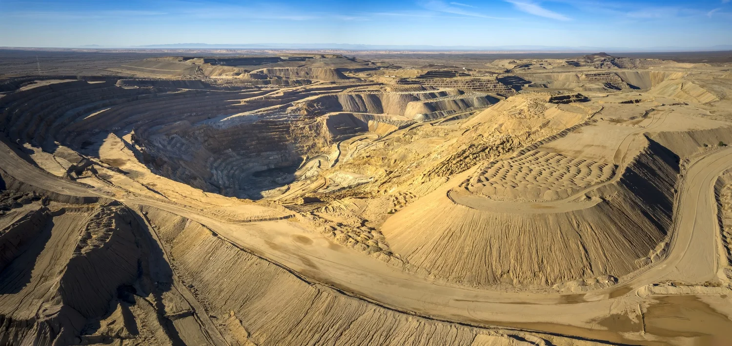
Stockpile volumes and mine site mapping
Accurate inventories and current site maps, without putting people on the piles or stopping production.
What we deliver
Inventory and site data your engineers can use
We have years of field experience on large mine sites, including drone scanning and ground control for manned LiDAR projects, so we know how an active site operates.
- Stockpile volume reports (PDF and CSV) by pile and material, with a site overview map
- Monthly or quarterly inventory flights on a fixed schedule
- Pit, bench and haul-road orthomosaics and elevation models
- Contours and surfaces for your engineers (DXF/DWG, LandXML)
- Cut/fill and period-to-period change analysis
- Reclamation and permit-compliance documentation
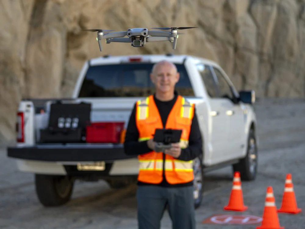
Safety: FAA Part 107 certified, MSHA Part 46 and OSHA 10 trained. We work under your site rules, induction and escort requirements.
How it works
From scope call to volume report
01
Scope
Site, piles or areas, accuracy needs, schedule and site safety requirements.
02
Induct & fly
Site induction, then RTK-corrected capture with ground control and checkpoints set with our own GNSS rover.
03
Process & check
Processed in Pix4D, with a quality check against the checkpoints.
04
Deliver
Volume report, map files and an accuracy report, in your coordinate system.
Tell us about your site
Send the location, area or asset, and what you need to measure. We reply with a scope and a quote.