
Drone mapping · Volumes · Thermal inspection
Accurate aerial data for mines, construction and energy sites.
RTK-corrected maps, 3D models, stockpile volumes and thermal inspection across Southern California, Arizona and Nevada. Checked on site, delivered in the formats your team already uses.
Industries
Built for active industrial sites
One flight gives your whole team a measurable, current picture of the site, without shutdowns or anyone climbing.
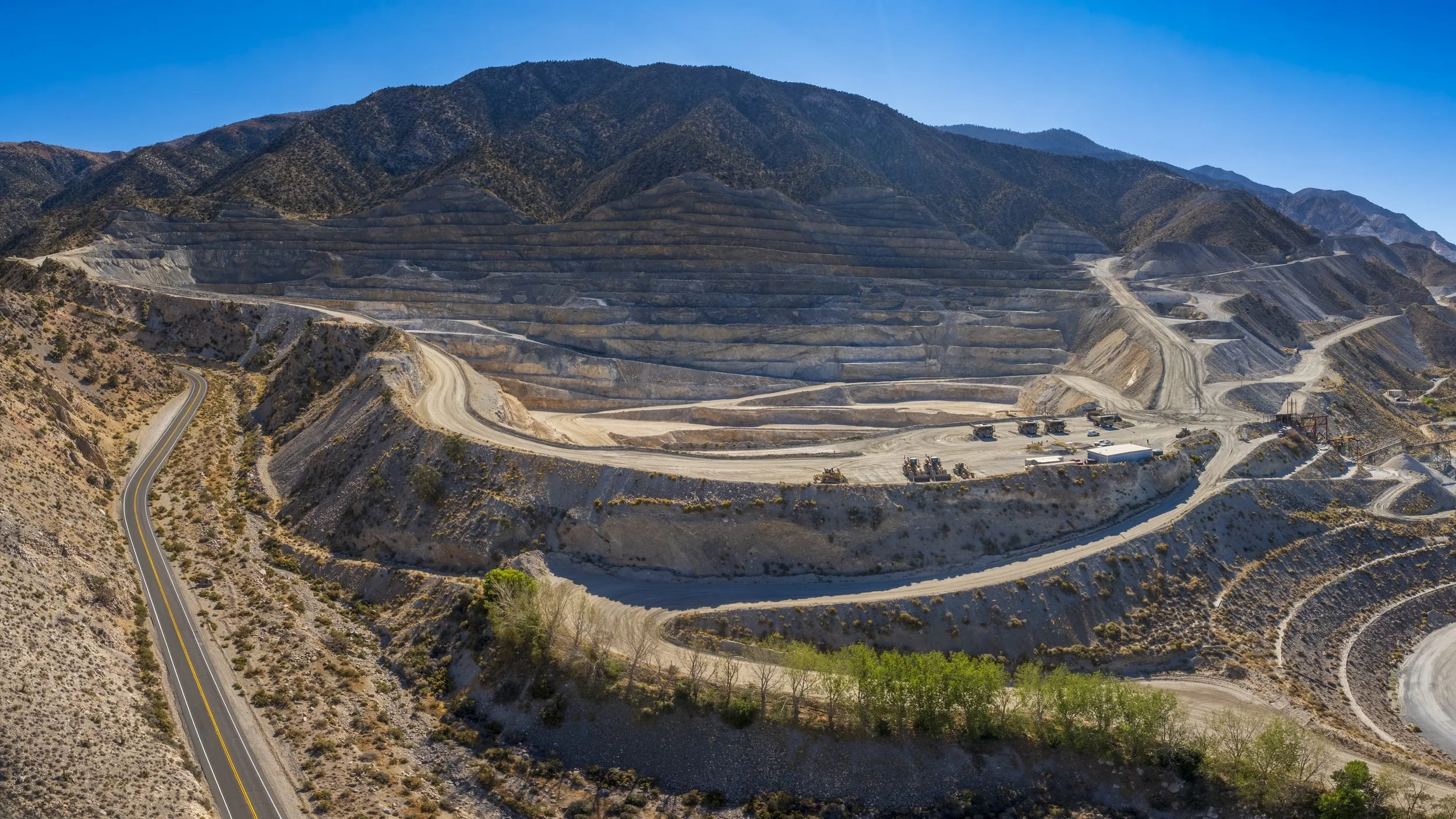
Mining & Aggregates
Stockpile inventories, pit and haul-road mapping, cut/fill and reclamation records.
Stockpile volumes →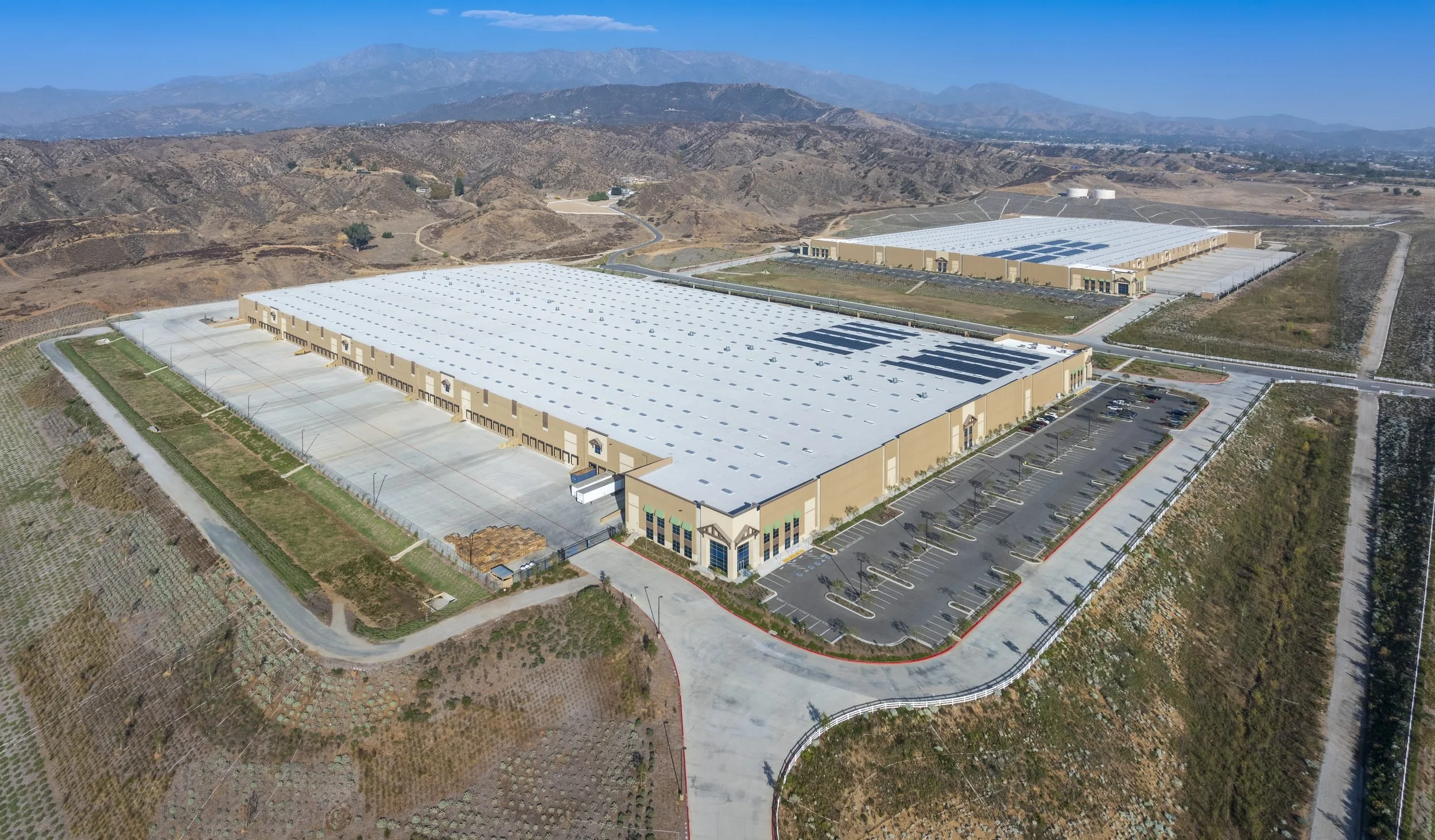
Construction & Earthworks
Progress orthomosaics, grading checks against design, as-builts and site logistics.
Mapping & deliverables →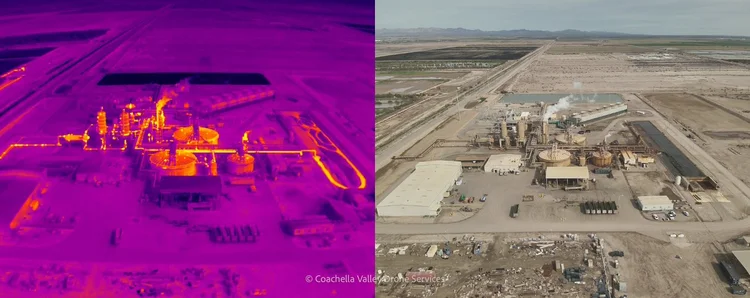
Solar & Energy
Radiometric thermal inspection with GPS-located anomaly reports for O&M teams.
Thermal inspection →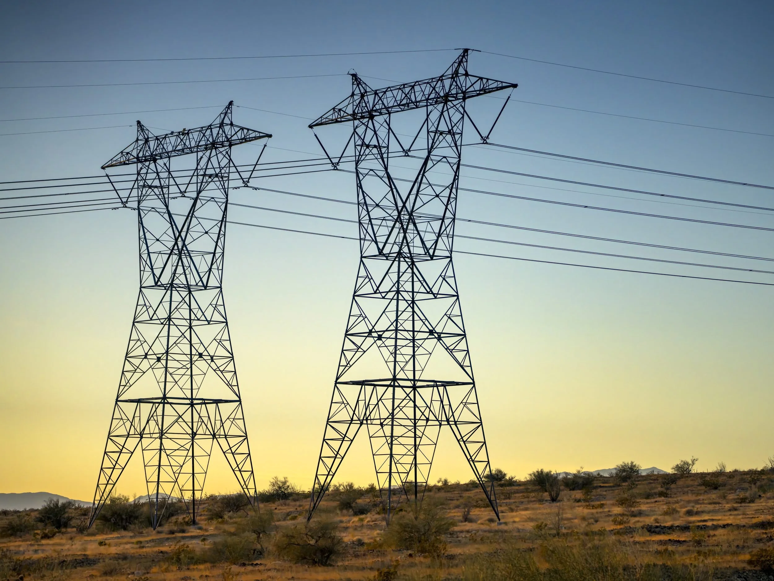
Utilities & Facilities
Roof, facade and asset condition records, digital twins and repeat inspections.
Asset inspection →


Capabilities
Accuracy you can check
Our own Emlid GNSS base station runs on a known point for every mapping flight. Ground control and checkpoints are set with our Emlid GNSS rover or tied to your surveyor's network, and every job ships with an accuracy report.
Delivered in NAD83 (2011), California, Arizona or Nevada State Plane, UTM, NAVD88 or your site grid.
Full capabilitiesGeoTIFF · KMZDSM · DTM GeoTIFFDXF · DWG · LandXMLLAS · LAZPDF report · CSVR-JPEG · anomaly PDFHow it works
From scope call to data in your hands
01
Scope
Site, area or asset, accuracy needs, schedule and your site safety rules.
02
Fly
RTK-corrected capture with ground control, under your site induction and escorts.
03
Check
Data checked on site over Starlink, then processed in Pix4D against checkpoints.
04
Deliver
Maps, models and reports in your formats, plus an online viewer for your team.
Field experience
Years of mine-site projects, self-sufficient anywhere
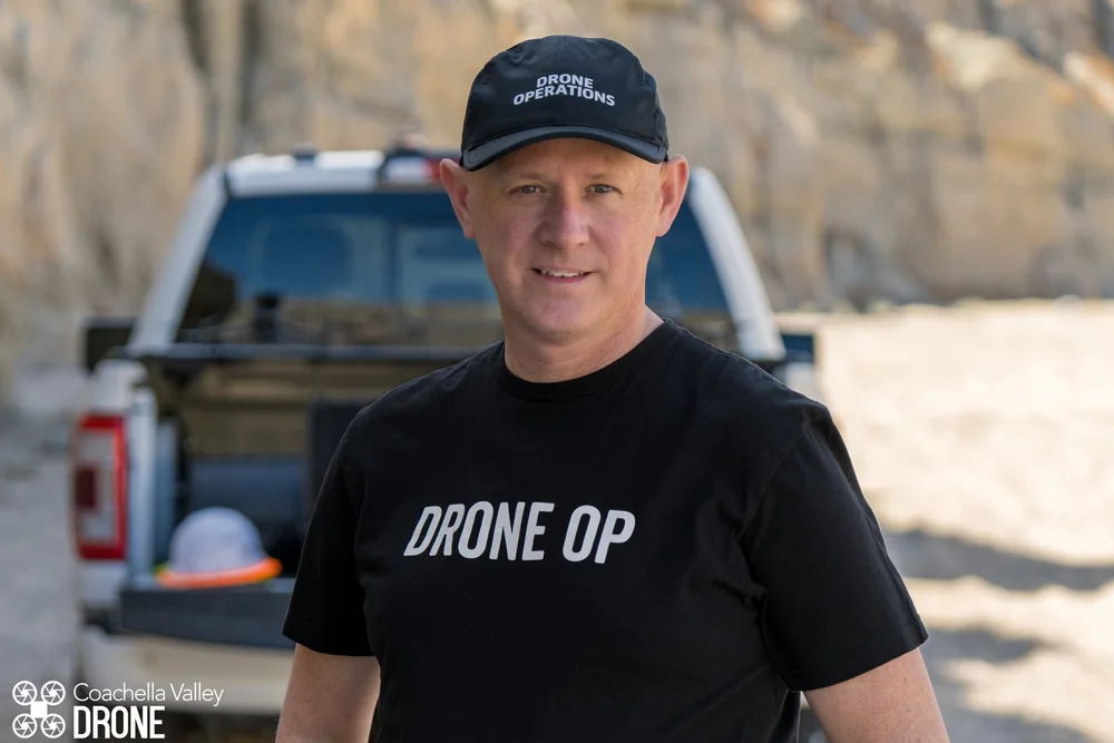
James has planned and run ground control on projects from drone mapping jobs to large mine sites flown by manned LiDAR aircraft. Our generator-powered 4x4 field truck with Starlink means remote and off-grid sites are routine.
- DJI Matrice 4E (RTK)
- Mavic 3 Enterprise & Thermal
- Emlid GNSS base station & rover
- Matterport Pro3 · Insta360 X5
- Pix4D · DroneDeploy · DJI FlightHub
- Sony A7R V ground capture
Our sister company
Real estate, events or 3D tours? That's Coachella Valley Drone.
Our creative division shoots aerial and ground photography, video and Matterport 3D tours for homes, commercial property, events and brands across the Coachella Valley.
Tell us about your site
Send the location, area or asset, and what you need to measure. We reply with a scope and a quote.